Long Creek Falls Trail
Hike Long Creek Falls Trail in the Chattahoochee-Oconee National Forest
Jesse and I took the drive up to Blue Ridge, Georgia to hike Long Creek Falls Trail. The trailhead is off of Forest Service Road 58 in the Chattahoochee-Oconee National Forest. We went about 4 miles down the road to get to the trail – the road is not paved but was in good condition. We were able to take the Corolla down it just fine! The service road is extremely pretty as it winds through old growth forest and along Long Creek. There are spots to get out and look along the service road. Watch out as you drive, because there are people on bikes, hikers, and the road narrows in some places.
Roughly a mile into the drive, there is a waterfall next to the road. If you can, stop and look straight up – You will realize this is actually the bottom of a waterfall. The top is really high above the road and is easy to miss. We actually missed it coming in, and we were shocked when we saw it on the way out!

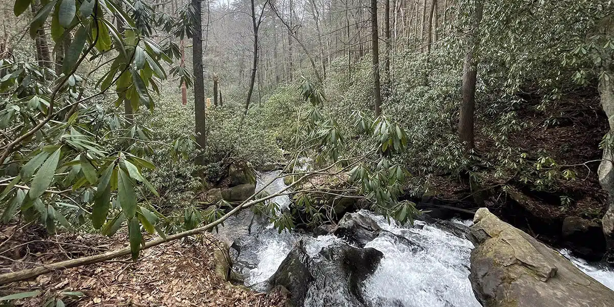
This hike is on a 1.9 mile out-and-back trail. Going to the waterfall, it is completely uphill. But, compared to other uphill hikes, this was one of the easier ones. As you walk along the trail, there are hike-in primitive campsites. The Long Creek Falls Trail follows the creek and is well marked. There are some places you can go off the trail and directly next to the creek. Some of these spots have mini waterfalls. The views are worth it but be cautious. These areas are not well marked, and because of the elevation and proximity to the creek, the surrounding rocky areas and creek banks can be slippery.
Long Creek Falls is located on the Appalachian Trail near the Three Forks where the Appalachian, Benton MacKaye and Duncan Ridge Trails meet.
About one mile into the hike, you will come across a fork in the trail. One is the Benton MacKaye Trail, the Appalachian Trail, and then of course Long Creek Falls. Continue on Long Creek Falls, and shortly after you will come to the main attraction: the waterfall! This waterfall is about 50 feet tall. There had been a lot of recent rainfall around the time we visited, so the waterfall was in full force. At the base of the waterfall, there is a large boulder that has old carvings in it. You can hike up the side of the waterfall on an unmarked trail, but it is very challenging and slippery. Be careful if you decide to make your way up! This is an easy hike on the way back because it is all downhill. Overall, this short hike is worth it.
After a great day of hiking along Long Creek Falls trail, we stopped by Grumpy Old Men Brewing on Main Street in Blue Ridge for a cold one!
Happy Trails!
– Katie & Jessie
Tips:
- There was very limited (or none at all) service during the hike.
- If you are going alone, make sure someone knows where you are going!
- Parts of the trail can be rocky and uneven, so plan accordingly.
- As you drive on the forest service road, make sure you slow down to take in the sights.
Long Creek Falls
Forest Service Road 58
Blue Ridge, GA 30513
34.663850, -84.183967 / N34 39.831 W84 11.038
Driving Directions to the Long Creek Falls trailhead.


